

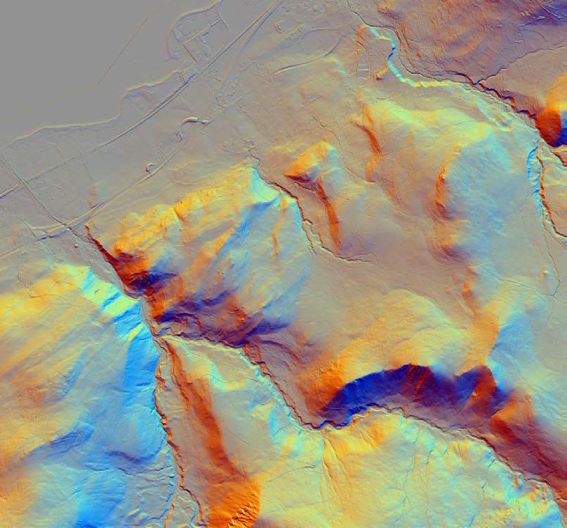
LiDaR stands for Light Detection and Ranging. Laser sensors capture detailed measurements to create 3D digital models.
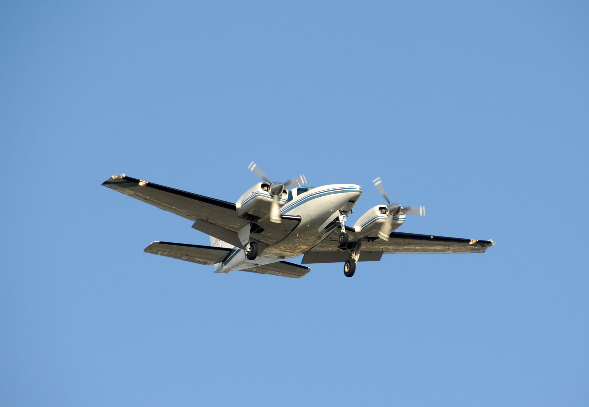
Our survey of the whole Carneddau landscape and its surroundings was made using sensors mounted beneath a small propellor plane, capturing thousands of measurements each second. The data has been used to create a high-resolution digital model of the Carneddau Landscape.
The data was captured in the Winter when vegetation had died back and the trees were bare. This gave the clearest view of the ground surface and where needed, types of vegetation cover, like woodland, were digitally removed from the model. This revealed features on the ground beneath that couldn’t be seen on aerial photographs.
- Using the data to note areas where conservation attention is needed and to discover historical and archaeological features that haven’t previously been found.
- Develop an online portal for volunteers, professional workers and the public to be able to see the LiDaR maps and data.
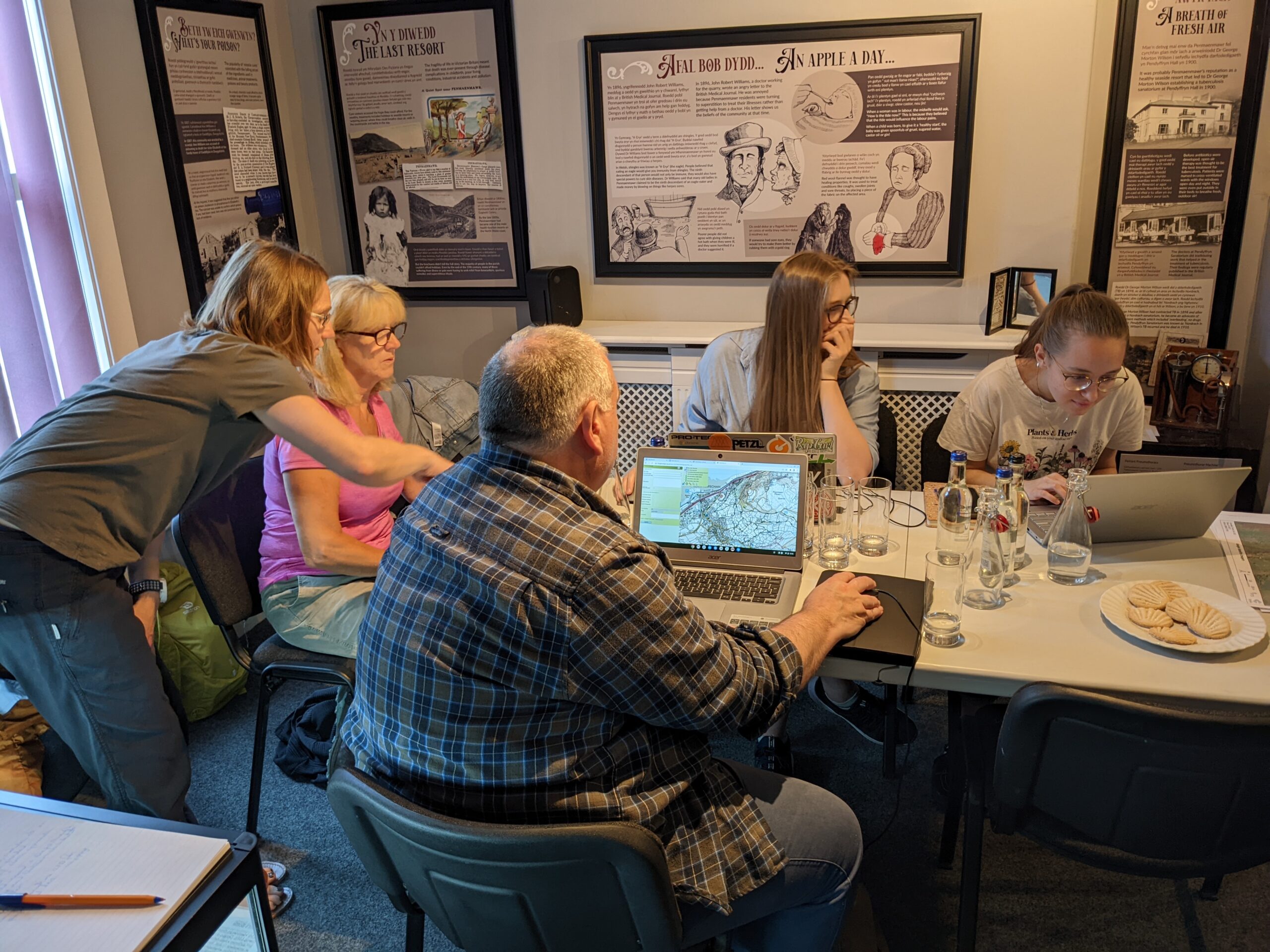
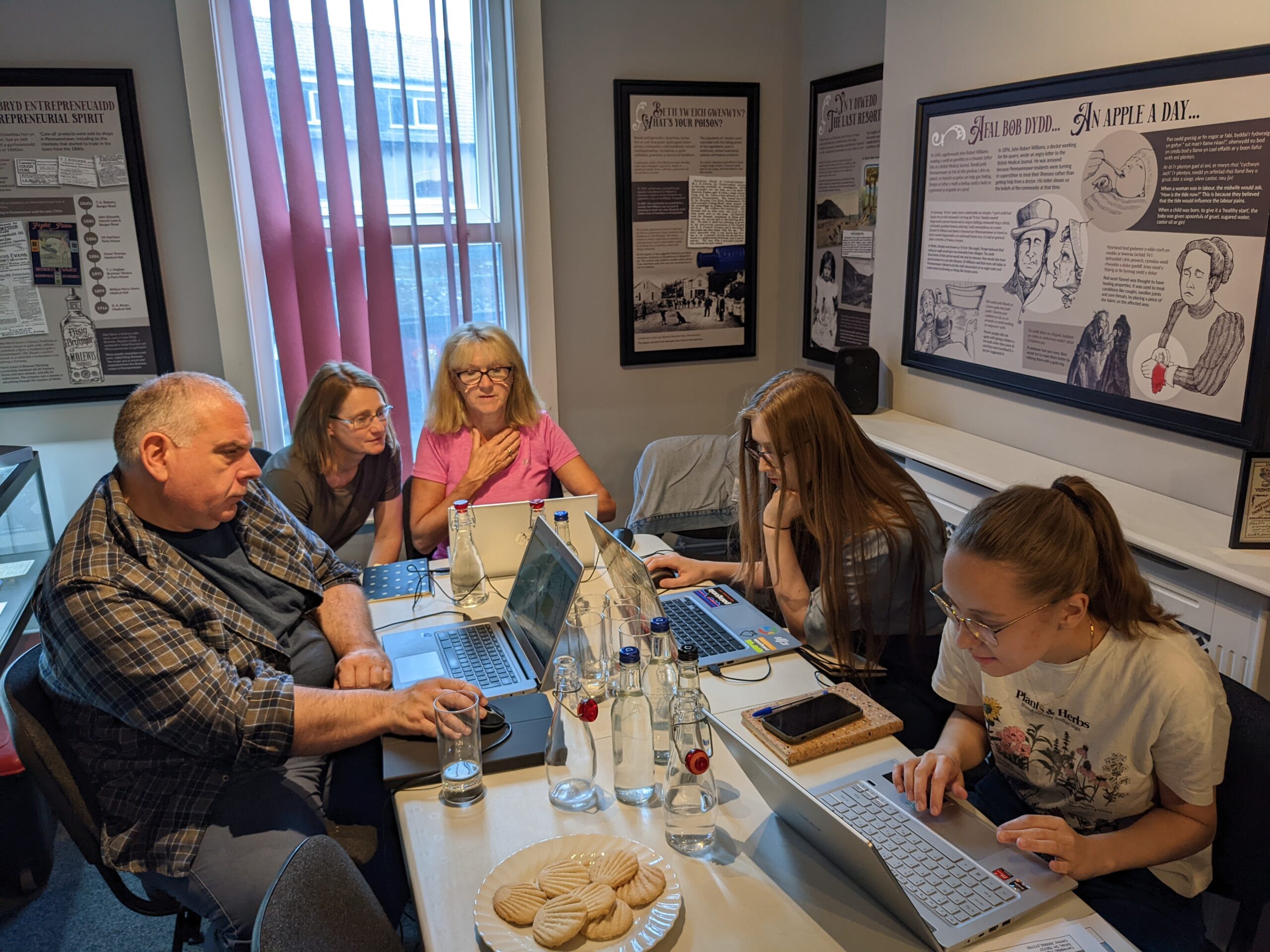
- Offer training sessions with community volunteers on different technological levels to be able to look at the features that were found through LiDaR and to be able to add information and photographs.
- Use the data to work with partners of the scheme to note work that needs to be prioritized and to develop projects to get to grips with the work priorities.
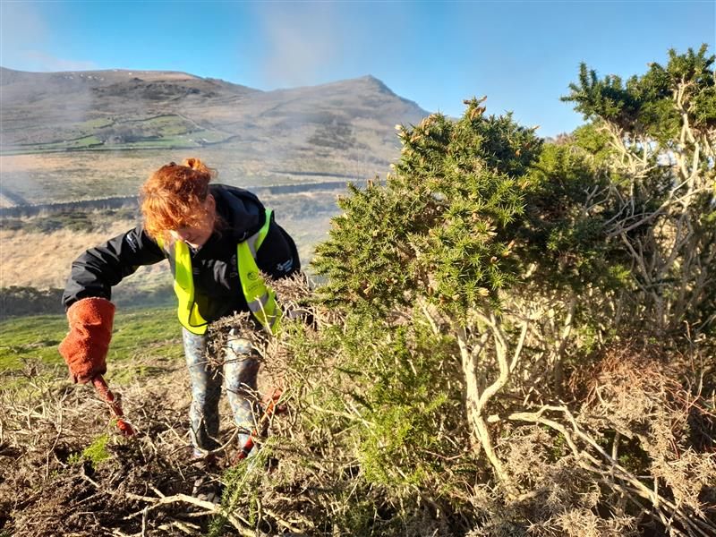
Gorse and Bracken are spreading in many areas where archaeological features are concentrated, making important sites hard to find and appreciate. Both species are destroying archaeological remnants as their roots are pushing walls and mounds away from each other. The LiDaR data will help us indicate Himalayan Balsam, restore peatlands, eradicate the invasive Rhododendrons and reveal areas that have eroded footpaths.
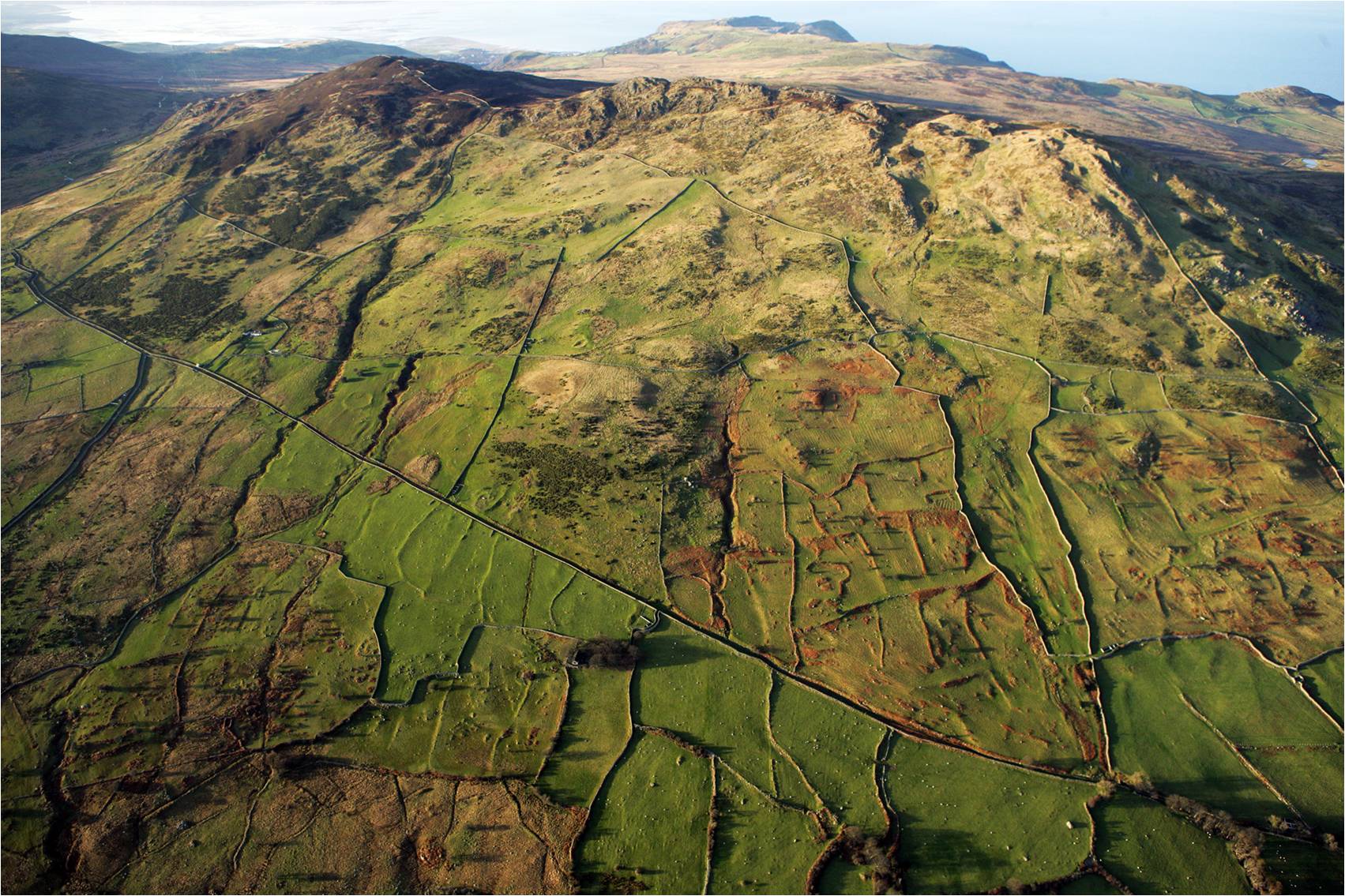
The project aims to uncover and record important features that haven’t yet been brought to people’s attention as well as enhancing our understanding of the landscape’s history and the land use by local people. The data is revealing ancient settlements and field systems that weren’t previously known to us and in turn will help us to make conservation and management plans for the future so that archaeological features are preserved effectively.
The LiDaR has now been captured and has created a lot of exciting new data covering over 300 square kilometres of landscape. The LiDaR portal is in the middle of being developed and once finished, will allow people to discover new features on the Carneddau from the comfort of their home.
Take part in one of the project’s guided archaeological walks or informative talks.
Check out our events page for upcoming fieldwork, walks and talks.
Take part in one of the project’s guided archaeological walks or informative talks.
Check out our events page for upcoming fieldwork, walks and talks.